Pricing for the Seabed
Survey
Data is freely available to download from https://jetstream.gsi.ie/iwdds/index.html
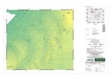
Charts can be downloaded from http://www.infomar.ie/data/ChartsMap.php in .pdf format
Data deriving from the Irish National Seabed Survey are now available for purchase from the Geological Survey of Ireland. Pricing details are displayed here. Data is available in paper and digital form. GSI is currently working on a replacement for its now defunct e-store but it will be some time before it will be available. Due to the overwhelming demand for data usage, particularly from academic institutions, we have initiated a standard data application form. See data access for further details.
Paper Products
Paper
maps are all 2° x 1° sheets at a scale of 1:250,000. Their prices are
as follows. Other scales are now available also i.e. 1:60,000, 1:30,000
and 1:7,500.
| Paper Map Products |
|
 |
| Multibeam bathymetry, colour contoured | 125 | |
| Multibeam backscatter | 125 | |
| Multibeam colour shaded relief | 125 | |
| Interpreted sub-bottom profiles* | 65 | |
| Seabed classification** | 200 | |
| Magnetic anomaly | 125 | |
| Gravity anomaly | 125 | |
| Track charts | Free | |
| Salinity, temperature, sound velocity distributions | Free^ | |
| Lamination of any map | 19 |
* Sold by sheet not by line km. 1 line per sheet (75-125kms), ** range not fully available, ^ a small fee may be charged for assembly and delivery of data .
| Digital Products |
|
 |
| All Multibeam sheets | 625 | |
| Seabed classification sheets** | 1,000 | |
| Gravity and Magnetics data at 2° x 1° sheet ranges - to be purchased from our agent PGW. Contact details here | 7,000 | |
| Groundtruthing
database access charge Each entry sold at €1 per sample €2 for geochemistry analysis €2 for biological analysis €2 for particle size analysis |
50 |
Notes:
All
data is sold on a sheet by sheet basis and not as part of sheets.
Prices charged to academic institutions for approved research will be reduced by 33%. Data exchange arrangements will be considered. In fact, in several instances to date academic institutions are using our data in approved projects and so have received the data for free.
If you are interested in learning more about coverage charts or the availablility of products and their prices please click on data access in the first instance or contact Dr. Eibhlin Doyle or Enda Gallagher.